Several people have asked how they could keep up with me once I start the trail. One way is the daily posts to this blog. Although they may be short I will try to post something every day and a couple of pictures, if I have cell phone service and my phone doesn't go dead. Another way is my gps tracker, which will show my position every hour for the last 7 days. Of course it will only work if I can remember to turn it on each day and keep batteries in it. It also has a motion sensor that turns on and off automatically to help conserve the batteries. I have not tested this out but I may decide to set this up. Anyway below is a shared link connected to my device. It should only show location points on a map and I am not sure what else it would show such as roads or towns near by or anything worth while. We will just have to wait and see how it works. The link should start showing location points on February 26, 2014, the day my hike begins. If you want to follow each day, you should add a shortcut to the website that opens once you click on the link below. You can also add a shortcut to this blog so it will be easier to find.
Tuesday, February 18, 2014

Tuesday, February 11, 2014
Anticipation Building
Reality has set in. There seems to be no more time for me to hike/camp before I start my AT journey. I had wanted to get in one more two night trip on the Pinhoti Trail, but I don't think that will happen. My start date will be February 26. My wife and I will celebrate her birthday at Amicalola Falls State Park on the 25th. Then on Wednesday I will begin the 8 mile approach trail to Springer Mountain, the official starting point of the Appalachian Trail. I am extremely excited and filled with anticipation. Even though I have planned and purchased everything I think I will need I still have a lot of uncertainity. I am very much aware that my pack is heavier than most, but I don't know what I can do without. A friend of mine who has hiked the AT will go through my pack to see if something can be eliminated. The item with the most weight and bulk is my sleeping bag. I will be able to send it home after the cold weather and go with a lighter one. I probably am carrying twice the amount of water I need to, so that could drop a couple of pounds if I can get by with less. Anyway, I will make one more trip to REI to get a larger size boot. The ones I have are okay, but I should have a size larger. I am nervous about some aspects of this trip. I am a couch potato not an athlete, older than most of those who will pass me on the trail, with a bad back and bad knees. I expect to be slower than most on the trail, but I am not going to even try to keep up with others. I expect sore muscles and sore feet. I am a little concerned about the weather but I am prepared for the cold. Of course being cold and wet may present a problem. I think that once I get started I will be able to learn exactly what to do from other hikers. At this time I feel as ready as I can be. More to come later.
Thursday, January 23, 2014
Pinhoti Trail continues
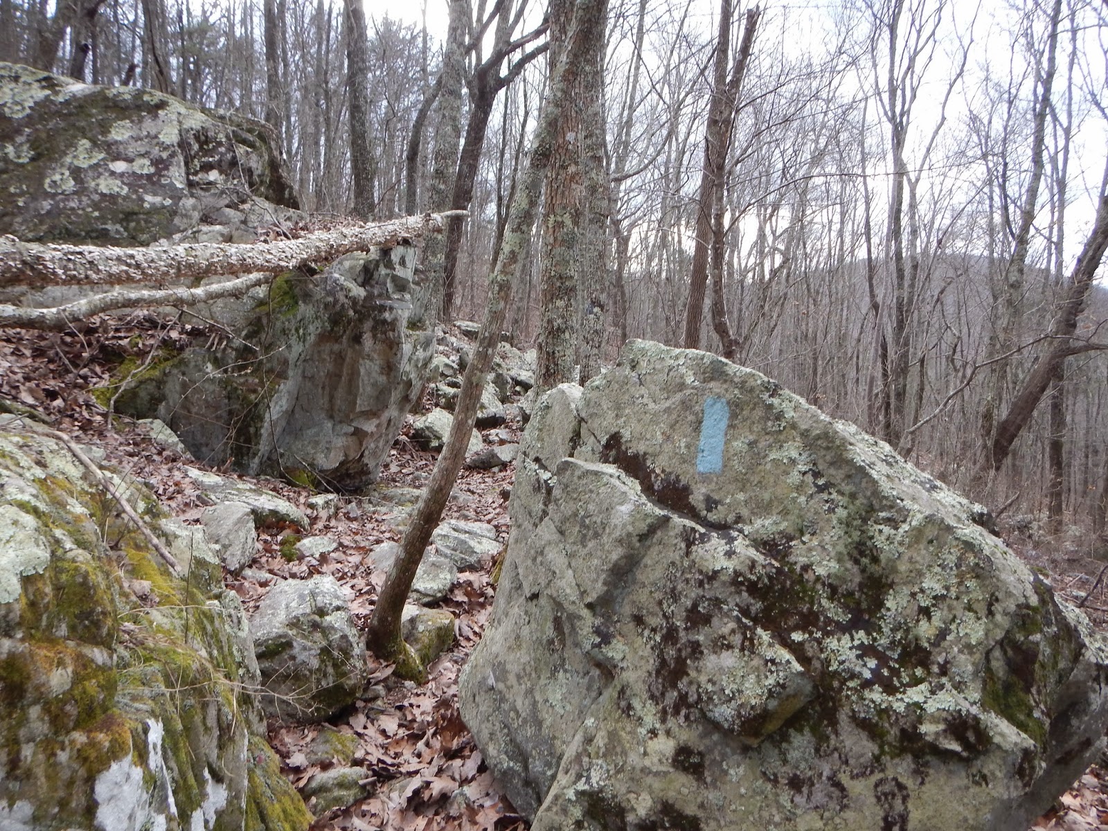
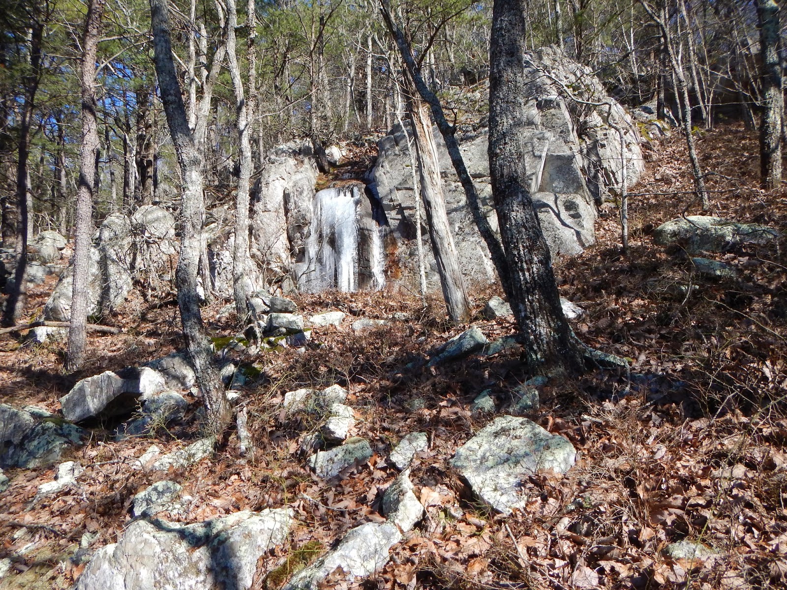
For this trip I started on Tuesday, Jan. 21st from Adams Gap headed to the Cheaha Trailhead. A distance of about 11 miles. I started at about 10:30 am and I was trucking along at a good pace until I came to a section know as the Stairway to Heaven. This is an uphill climb with a lot of switchbacks to get to the top and a lot of large rocks. It was so steep that my legs began to cramp. Just as one leg would begin to cramp there would be a switchback then the other leg would begin to cramp. This was probably made worse with the extra 50 pound pack on my back. By the time I got to the top my legs were just about to give out. The wind was blowing at about 40 miles per hour. Temperature was dropping. I began looking for a campsite that would be somewhat out of the wind, preferably down in a valley. I passed several possible campsites that were on high ridges with the cold wind blowing and decided to pass these up for something out of the direct wind. About 4:00 I came on just the right spot to camp. I'm thinking that I have traveled about 5 miles, but I now believe it was more like 3 or 4 miles. I pitched my tent and climbed in. Here is where I made a mistake. I took my boots off and started inflating my air mattress. This took a while and all the time my feet were getting colder and colder. I know now that I should have changed socks immediately after taking off my boots. The sweaty socks were beginning to freeze. After changing socks I climbed into the sleeping bag. I am not sure my feet ever got warm even though I used my jacket to warm them up some. The temperature was steadily dropping but I was out of the wind which howled all night long. I knew I needed to get my water bottles insulated so I put them in the sleeping bag with me. About 10:00 I realized that nature was calling and I had to get up and go outside. I discovered that I had rolled over on the bite valve of my water bag and it had leaked some into the sleeping bag. Not very much and it had no effect on my staying warm. I decided to keep the water out of my sleeping bag in case there was other leaks. For the two water bottles I carried I used one of my gloves for each and I just hoped the bladder bag would not freeze in the tent. About daylight I discovered that the water in the bladder bag was not frozen solid, but the water in the tube was frozen stiff. Ice had begun forming in the other water bottles, but the gloves keep them from freezing solid. I turned on the radio to find the temperature was about 16, probably lower where I was, so I decided to wait till it warmed up some before I got up. I was able to cook breakfast, oatmeal and coffee, without getting out of my sleeping bag. By the time I got up and packed up it was about 10:00, and the sun was coming up over the mountain ridge. According to my water bottles the temperature never got above freezing all day long because the ice in them never melted. I had hiked some of this trail previously on December 26, but it was about 2:30 when I got to the Cave Creek Trail connector. Had I switch to Cave Creek Trail, I was about 3 miles from the car. Instead I opted to stay on the Pinhoti Trail following the blue marks, which meant I had about 4 or 4.5 miles to get to the car. About 5:00 I realized I would not finish before dark. I could feel the temperature dropping, and decided to take a rest stop, put on my jacket and send an I'm ok message to my wife. This is done using my Spot satellite transmitter. My cell phone was dead so this was the only way to let her know everything was okay. I put on my headlight and kept going. I slipped on some leaves in the rocks and skinned my leg but I never look to see how bad it was because I have to keep going. Other than that, I had no problem hiking in the dark and about 6:30 decided to send another I'm ok message. About an hour later I came to a sign that said parking with an arrow pointing down a trail. This hiking trip was finally over. Looking back this trip was fun, but totally exhausting. Pictures of this trip are below.





Monday, January 20, 2014
Pinhoti Trail continued
Finally, I am going to hike again tomorrow. This trip will be from Adams Gap to the Cheaha Trailhead, about 12 miles. Once again I intend to take my time so it will take 2 days. Today the weather is 60 degrees, but tomorrow the high is supposed to be 46 with a low of 19. Since this will be an overnight trip with full gear it will be a good test for me to see how cold I get. I already know my sleeping bag will keep me warm and I have extra clothing if I need it, so I am as prepared for the cold as I can be. I will post pictures and updates tomorrow.
Tuesday, January 7, 2014
Cold Test
Okay, so the temperature dropped to the new record low of 7 degrees last night. What better time to test my 0 degree sleeping bag? I decided that I would pitch my tent on my screened-in back porch and then sleep in the tent. The temperature was 15 while putting up the tent, then once I got in my sleeping bag I was really warm. If I had stuffed some clothes in the pillow sack I would have been extra comfy. For this test I did not use any thermal clothing. So now that I have tested the new sleeping bag and found it to be very roomy (much better than the other mummy bag), cozy, and warm. I am now ready to continue on the Pinhoti Trail. I will plan on hiking a couple of days next week then post again.
Thursday, December 26, 2013
Pinhoti Continued
Today both son-in-laws joined me for a 7.5 mile hike on Cheaha Mountain. We started at the Cheaha Trailhead and followed the Pinhoti trail for approximately 4 miles, then cutback on Cave Creek Trail for 3 miles back the where we started. This was a nice loop with varied terrains. Some large rock climbs and steep uphills and down. Really nice views along the way. It was a great day for hiking. Some pictures are included below.


Saturday, December 21, 2013
Training Stalled - Excitement Building
It looks like I have all but stopped hiking. I have tried to set aside 3 days get back on the Pinhoti Trail, but something has come up each time. With Christmas fast approaching and a house full of family, it would appear that this week is out too. Maybe that is not a bad thing, as the woods are full of hunters around here. Hunting season lasts until mid January. That does not leave but about 6 weeks before I start on the Appalachian Trail. I would like at least a 5 day trip before my start date, but I don't think I can get it done.
It is hard to believe that it is nearly 70 degrees in Talladega, but after the storms move in tomorrow it is suppose to be colder. I was hoping to hike in cold weather before I hit the AT, but at the rate I'm going that may not happen. As of right now, the projected start date for the AT will be February 26, 2014. This could change depending on the weather. With 2 months to go, I am getting really anxious, excited, nervous, worried, etc. I have so many unanswered questions about the trip. At 64 years old my body aches everyday. Legs hurt, feet hurt, back aches. Each of these are daily occurrences. I expect these to worsen once I start the trail. In my mind these pains will be tolerable. Of course Tylenol should help. Will my body hold out? We'll see.
I will divide the AT into short goals. My first goal is to take my time. I am not in a race. If I only cover 5 miles a day that will be fine for me. Maybe my daily goal will be to reach the next shelter. After a couple of weeks on the trail the daily distance should gradually increase. Maybe by summer I can do 20 miles a day or more. I have begun to worry about the medicines I take each day. How do I get the prescriptions refilled? Can I stop taking them for 6 months? I will get a checkup in mid-Feb. My doctor should be able to answer all these questions. More thoughts soon.
It is hard to believe that it is nearly 70 degrees in Talladega, but after the storms move in tomorrow it is suppose to be colder. I was hoping to hike in cold weather before I hit the AT, but at the rate I'm going that may not happen. As of right now, the projected start date for the AT will be February 26, 2014. This could change depending on the weather. With 2 months to go, I am getting really anxious, excited, nervous, worried, etc. I have so many unanswered questions about the trip. At 64 years old my body aches everyday. Legs hurt, feet hurt, back aches. Each of these are daily occurrences. I expect these to worsen once I start the trail. In my mind these pains will be tolerable. Of course Tylenol should help. Will my body hold out? We'll see.
I will divide the AT into short goals. My first goal is to take my time. I am not in a race. If I only cover 5 miles a day that will be fine for me. Maybe my daily goal will be to reach the next shelter. After a couple of weeks on the trail the daily distance should gradually increase. Maybe by summer I can do 20 miles a day or more. I have begun to worry about the medicines I take each day. How do I get the prescriptions refilled? Can I stop taking them for 6 months? I will get a checkup in mid-Feb. My doctor should be able to answer all these questions. More thoughts soon.
Subscribe to:
Posts (Atom)